SPC AC 230712
Day 3 Convective Outlook
NWS Storm Prediction Center Norman OK
0112 AM CST Sun Dec 23 2018
Valid 251200Z - 261200Z
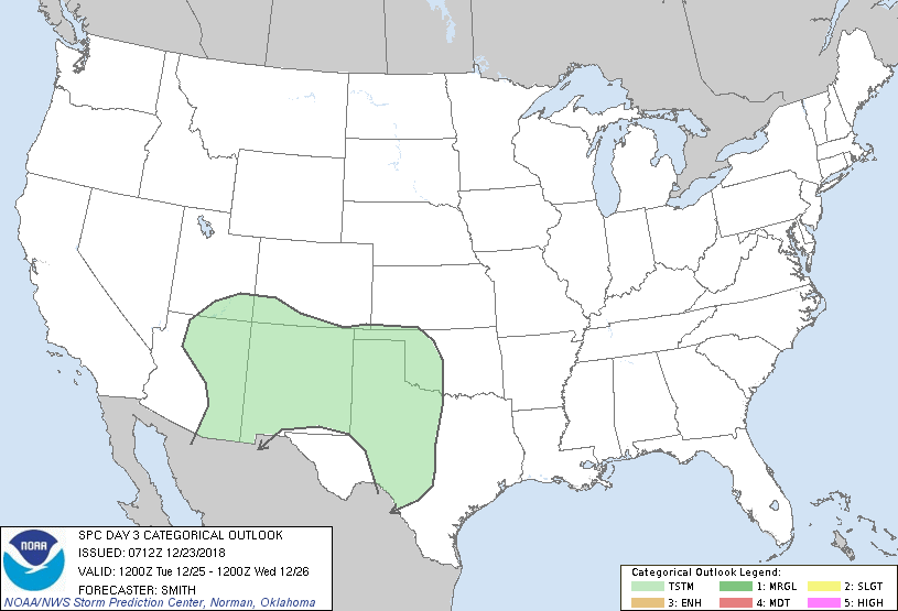
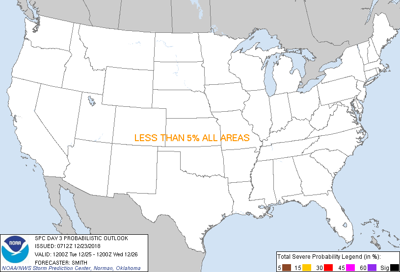
...NO SEVERE THUNDERSTORM AREAS FORECAST...
...SUMMARY...
Organized severe thunderstorms are not currently forecast for
Tuesday over the contiguous United States.
...Synopsis...
A mid-level low and associated trough will move from the Sierra
Nevada and central CA southeast to the AZ/Sonora border by early
Wednesday morning. Weak mid-level height rises will occur during
the day over the southern Great Plains in between the western U.S.
system and a fast-moving/low-amplitude shortwave trough moving from
the OH Valley into the western Atlantic. In the low levels,
southerly flow over the western Gulf Basin into TX will transport
moisture north-northwestward into the southern High Plains. Weak
elevated buoyancy is forecast primarily after dark in TX/OK/eastern
NM ahead of stronger mid-level height falls not forecast until after
the Day 3 period. Nonetheless, a strengthening low-level
warm-advection regime will support the development of scattered
showers and weak elevated thunderstorms over eastern NM and
northwest TX into OK during the midnight-6am CST Wednesday period.
Isolated showers/storms may also develop within the moist plume
extending from south-central TX into the TX Low Rolling Plains.
..Smith.. 12/23/2018
CLICK TO GET WUUS03 PTSDY3 PRODUCT
NOTE: THE NEXT DAY 3 OUTLOOK IS SCHEDULED BY 0830Z
|