Probability of damaging thunderstorm winds or wind gusts of 50 knots or higher within 25 miles of a point. Hatched Area: 10% of greater probability of wind gusts 65 knots or greater within 25 miles of a point.
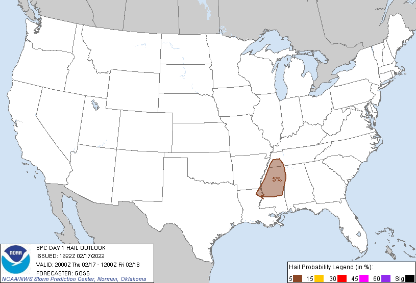
   SPC AC 171922

   Day 1 Convective Outlook
   NWS Storm Prediction Center Norman OK
   0122 PM CST Thu Feb 17 2022

   Valid 172000Z - 181200Z

   ...THERE IS AN ENHANCED RISK OF SEVERE THUNDERSTORMS ACROSS PORTIONS
   OF CENTRAL AND NORTHERN MISSISSIPPI...WESTERN AND NORTHERN
   ALABAMA...AND WESTERN AND MIDDLE TENNESSEE...

   ...SUMMARY...
   Strong/severe thunderstorms will continue to affect portions of the
   central Gulf Coast states, Tennessee Valley, and into parts of
   Kentucky through this evening. Damaging winds and a few tornadoes (a
   couple of which may be strong) are the primary threats.

   ...Discussion...
   Evolution of convection across the Mid and Lower Mississippi Valley
   vicinity has evolved largely as expected, with forecast reasoning
   still valid from this region eastward into the central Gulf Coast
   states/Tennessee Valley.  Given current progression of the cold
   front, and associated frontal convective band, western portions of
   the outlook areas are being trimmed accordingly.  Additionally,
   extensive stratiform-type precipitation is occurring from
   southwestern Kentucky eastward and northward, and therefore a minor
   southward suppression of outlook areas is also being included in
   this update.

   Otherwise, potential for damaging winds and a few tornadoes will
   continue across the region this afternoon and evening.

   ..Goss.. 02/17/2022

   .PREV DISCUSSION... /ISSUED 1005 AM CST Thu Feb 17 2022/

   ...Mid South/TN Valley into the OH Valley...
   A shortwave trough over southeast KS/northeast OK will eject
   northeast towards the Lower Great Lakes through tonight. Attendant
   surface cyclone near the MO/AR border will deepen as it tracks
   across the OH Valley towards the northern Appalachians. In advance
   of a cold front trailing the surface cyclone, continued northward
   moisture transport will result in mid-upper 60s boundary-layer
   dewpoints reaching western portions of TN/AL and a plume of MLCAPE
   from 500-1000 J/kg centered on eastern LA and MS. With
   northern/eastern extent, lower quality boundary-layer moisture
   and/or preceding rainfall will limit prospects for appreciable
   surface-based instability.

   Both pre-frontal and frontal convective bands are ongoing from the
   Mid-South to the Sabine Valley. Cloud breaks in MS out ahead of this
   activity should support adequate destabilization that broken bands
   of storms with several embedded supercells should develop between
   18-21Z across the Lower MS Valley and spread towards AL/Middle TN
   into this evening. Despite the rather modest buoyancy and lapse
   rates expected, highly enlarged and impressive low-level hodographs
   will support potential for at least a couple strong tornadoes
   centered on central to northern MS and adjacent portions of western
   TN/AL.

   Otherwise, a shallow/forced band of convection will likely accompany
   the surface cyclone and trailing cold front just to the south.
   Buoyancy will remain meager close to the OH River and some low-level
   static stability should persist through the day into tonight.
   However, thermodynamic profiles will be sensitive to changes of only
   a few degrees, such that there is large variance in the potential
   outcomes for coverage of damaging winds, in addition to a
   line-embedded tornado or two as far north as the cyclone track
   through this evening. Overnight, the severe threat will diminish
   with northeast and east extent as a result of minimal buoyancy and
   the stronger forcing for ascent no longer phasing with the remaining
   weakly unstable warm sector to the south.

   CLICK TO GET WUUS01 PTSDY1 PRODUCT

   NOTE: THE NEXT DAY 1 OUTLOOK IS SCHEDULED BY 0100Z