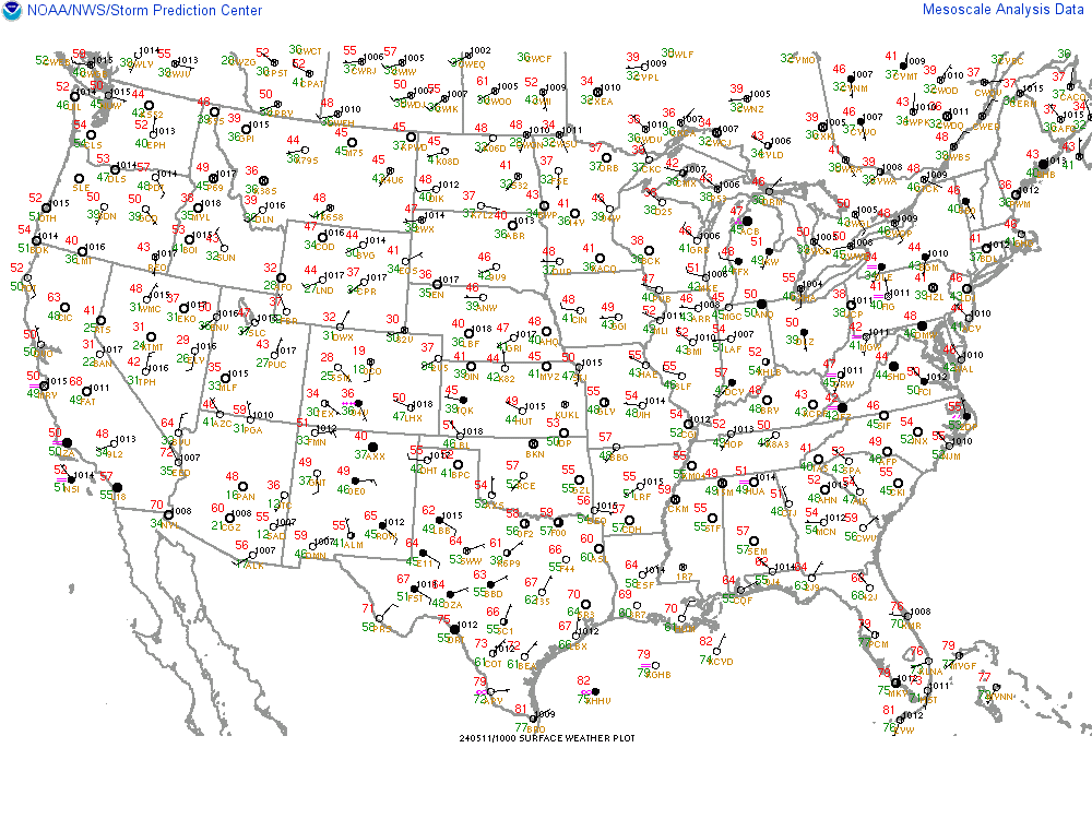
SPC Mesoscale Analysis - Archive
  • Change Sector
  • Loop Options

    Use "<" and ">" keys to step through loop.
    Select the ending time of the image loop.
    05/14 01Z05/14 00Z

    05/13 23Z05/13 22Z05/13 21Z 05/13 20Z 05/13 19Z 05/13 18Z
    05/13 17Z05/13 16Z05/13 15Z 05/13 14Z 05/13 13Z 05/13 12Z
    05/13 11Z05/13 10Z05/13 09Z 05/13 08Z 05/13 07Z 05/13 06Z
    05/13 05Z05/13 04Z05/13 03Z 05/13 02Z 05/13 01Z 05/13 00Z

    05/12 23Z05/12 22Z05/12 21Z 05/12 20Z 05/12 19Z 05/12 18Z
    05/12 17Z05/12 16Z05/12 15Z 05/12 14Z 05/12 13Z 05/12 12Z
    05/12 11Z05/12 10Z05/12 09Z 05/12 08Z 05/12 07Z 05/12 06Z
    05/12 05Z05/12 04Z05/12 03Z 05/12 02Z 05/12 01Z 05/12 00Z

    05/11 23Z05/11 22Z05/11 21Z 05/11 20Z 05/11 19Z 05/11 18Z
    05/11 17Z05/11 16Z05/11 15Z 05/11 14Z 05/11 13Z 05/11 12Z
    05/11 11Z05/11 10Z05/11 09Z 05/11 08Z 05/11 07Z 05/11 06Z
    05/11 05Z05/11 04Z05/11 03Z 05/11 02Z 05/11 01Z 05/11 00Z

    05/10 23Z05/10 22Z05/10 21Z 05/10 20Z 05/10 19Z 05/10 18Z
    05/10 17Z05/10 16Z05/10 15Z 05/10 14Z 05/10 13Z 05/10 12Z
    05/10 11Z05/10 10Z05/10 09Z 05/10 08Z 05/10 07Z 05/10 06Z
    05/10 05Z05/10 04Z05/10 03Z 05/10 02Z
  • SPC Homepage
Return to Real-Time Viewer
Image overlays: County Boundaries County Warning Areas Hiways & Cities NWS Watches & Warnings  
Image underlays: None Radar Terrain Population Sfc Obs
Please contact John Hart, Corey Mead, and Rich Thompson if you have questions or comments regarding this page.
The fields shown on these pages are produced by SPC's SFCOA analysis system, primarily created and maintained by Phillip Bothwell.