|
Experimental Day 4-8 Severe Thunderstorm Outlook Issued on Sep 16, 2006
Updated: Sat Sep 16 08:45:03 UTC 2006
Note:
Comment Period: Oct 3, 2005 - July 28, 2006.
Please send your comments to spc.feedback@noaa.gov.
Product Definition Document (PDD) in HTML or MS-Word.
Note:
Increased variability in model forecasts with time and the
inability of the medium range models to resolve mesoscale features
results in greater uncertainty forecasting severe storms in the
Day 4-8 period.
SPC forecasters examine various deterministic and ensemble model
looking for synoptic patterns that favor at least a 25% or higher
probability for severe thunderstorms, before a severe weather area
is depicted.
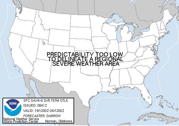
   DAY 4-8 CONVECTIVE OUTLOOK
   NWS STORM PREDICTION CENTER NORMAN OK
   0341 AM CDT SAT SEP 16 2006

   VALID 191200Z - 241200Z

   ...DISCUSSION...

   DEEP CONVECTION APPEARS LIKELY ALONG A GOOD PORTION OF THE CNTRL/ERN
   GULF COAST REGION DURING THE DAY4 PERIOD...ESPECIALLY IF A TROPICAL
   CONNECTION EVOLVES WITHIN THE BASE OF THE ERN U.S. TROUGH.  WEAK
   LAPSE RATE/INSTABILITY ENVIRONMENT SHOULD BE NOTED IF THIS
   TRANSPIRES...BUT THE SEVERE THREAT MAY BE REDUCED DUE TO THESE
   LIMITATIONS.

   LATER IN THE WEEK...ANOTHER PRONOUNCED TROUGH WILL DEVELOP OVER THE
   INTERIOR WEST. THIS FEATURE MAY EJECT INTO THE PLAINS BY NEXT
   WEEKEND.  THERE WOULD SEEM TO BE AN INCREASED CHANCE OF SEVERE IF
   THIS UPPER TROUGH INDEED EVOLVES AS LATE EVENING MODELS SUGGEST.
   FOR NOW THE PREDICTABILITY APPEARS TOO LOW TO WARRANT A SEVERE RISK.

   ..DARROW.. 09/16/2006
|
|


 @NWSSPC