Day 4-8 Severe Weather Outlook Issued on Feb 22, 2023
Updated: Wed Feb 22 09:02:02 UTC 2023
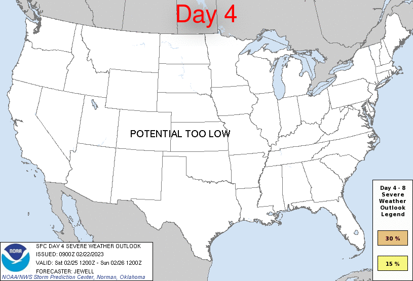
Day 4 Risk
Area (sq. mi.)
Area Pop.
Some Larger Population Centers in Risk Area
No Risk Areas Forecast
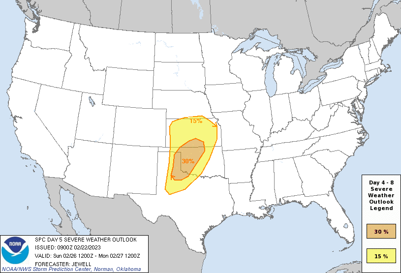
Day 5 Risk
Area (sq. mi.)
Area Pop.
Some Larger Population Centers in Risk Area
30 %
45,623
761,232
Enid, OK...Ponca City, OK...Altus, OK...Derby, KS...El Reno, OK...
15 %
102,980
3,746,484
Oklahoma City, OK...Wichita, KS...Topeka, KS...Norman, OK...Wichita Falls, TX...
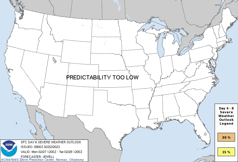
Day 6 Risk
Area (sq. mi.)
Area Pop.
Some Larger Population Centers in Risk Area
No Risk Areas Forecast
Day 7 Risk
Area (sq. mi.)
Area Pop.
Some Larger Population Centers in Risk Area
No Risk Areas Forecast
Day 8 Risk
Area (sq. mi.)
Area Pop.
Some Larger Population Centers in Risk Area
No Risk Areas Forecast
D4
Sat, Feb 25, 2023 - Sun, Feb 26, 2023
D7
Tue, Feb 28, 2023 - Wed, Mar 01, 2023
D5
Sun, Feb 26, 2023 - Mon, Feb 27, 2023
D8
Wed, Mar 01, 2023 - Thu, Mar 02, 2023
D6
Mon, Feb 27, 2023 - Tue, Feb 28, 2023
(All days are valid from 12 UTC - 12 UTC the following day)
Note: A severe weather area depicted in the Day 4-8 period indicates 15%, 30% or higher probability for severe thunderstorms within 25 miles of any point.
PREDICTABILITY TOO LOW is used to indicate severe storms may be possible based on some model scenarios. However, the location or occurrence of severe storms are in doubt due to: 1) large differences in the deterministic model solutions, 2) large spread in the ensemble guidance, and/or 3) minimal run-to-run continuity.
POTENTIAL TOO LOW means the threat for a regional area of organized severe storms appears unlikely (i.e., less than 15%) for the forecast day.
Forecast Discussion
   ZCZC SPCSWOD48 ALL
   ACUS48 KWNS 220900
   SPC AC 220900

   Day 4-8 Convective Outlook
   NWS Storm Prediction Center Norman OK
   0300 AM CST Wed Feb 22 2023

   Valid 251200Z - 021200Z

   ...DISCUSSION...
   On Saturday/D4, an upper low will move across southern CA late in
   the day, reaching the lower CO Valley early on Sunday/D5. Meanwhile,
   temporary upper ridging will occur over the Plains with a broad
   expanse of northwesterlies across the East. Southerly surface winds
   will increase Saturday/D4 night across the western Gulf of Mexico
   and TX, aiding moisture advection northward. While instability will
   begin to develop over western TX and OK, severe thunderstorms are
   not expected Saturday/D4.

   On Sunday/D5, the upper trough will accelerate eastward across NM,
   reaching the southern High Plains by 00Z Monday. Strong
   southwesterly midlevel winds of 70-90 kt will emerge, as low
   pressure rapidly deepens over eastern CO/western KS. A dryline will
   extend south from the low into west TX, followed closely by a
   prominent cold front.

   As dewpoints in the lower 60s F surge north toward the low, MUCAPE
   of 500-1000 J/kg is forecast to develop from far southwest KS into
   northwest TX, and this will occur with an increasingly low-level jet
   near 50 kt at 00Z Monday. By this time, the wave is expected to take
   on a negative tilt, with rapid height falls across the warm sector
   and a surging cold front. The end result is likely to be severe
   storms including supercells during the late afternoon from western
   KS into the TX/OK Panhandles, and extending into northwest TX and
   western OK prior to the cold front passage. Large hail and a few
   tornadoes will be possible. As linear forcing increases with time, a
   squall line producing damaging winds, including QLCS potential, is
   forecast over much of OK, southern KS and northern TX. The eastward
   extent of the severe threat will be limited by instability, most
   likely waning roughly from the Arklatex into the Ozarks. Cooling
   aloft with the shortwave trough may result in at least minimally
   supportive instability into MO overnight, where wind fields will be
   very strong ahead of the deepening low. Given sufficient run-to-run
   model consistency, an area of 30% all-severe hazards has been added
   to parts of TX, western OK and south-central KS.

   On Monday/D6, the shortwave trough will move rapidly across the OH
   Valley, with the surface low approaching Lower MI by 00Z Tuesday. By
   this time, instability will be weaker, perhaps only a few hundred
   J/kg or less. In addition, predictability is shown to decrease.
   Therefore, while some severe wind threat may persist in association
   with the surface low and cold front, will wait for better model
   consistency before introducing a possible 15% severe risk for the
   mid MS/OH Valley areas.

   ..Jewell.. 02/22/2023

   CLICK TO GET WUUS48 PTSD48 PRODUCT


 @NWSSPC