|
Day 4-8 Convective Outlook Issued on Apr 25, 2010
Updated: Sun Apr 25 08:50:02 UTC 2010
| D4 | Wed, Apr 28, 2010 - Thu, Apr 29, 2010 |
D7 | Sat, May 01, 2010 - Sun, May 02, 2010 |
| D5 | Thu, Apr 29, 2010 - Fri, Apr 30, 2010 |
D8 | Sun, May 02, 2010 - Mon, May 03, 2010 |
| D6 | Fri, Apr 30, 2010 - Sat, May 01, 2010 |
(All days are valid from 12 UTC - 12 UTC) |
Note: A severe weather
area depicted in the Day 4-8 period indicates a 30% or higher probability
for severe thunderstorms within 25 miles of any point.
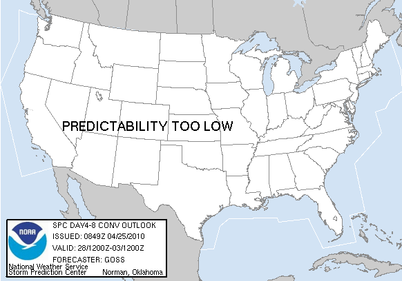
PREDICTABILITY TOO LOW is used to indicate severe storms may be
possible based on some model scenarios.
However, the location or occurrence of severe storms are in doubt
due to: 1) large differences in the deterministic model solutions,
2) large spread in the ensemble guidance, and/or
3) minimal run-to-run continuity.
POTENTIAL TOO LOW means the threat for a regional area of
organized severe storms appears highly unlikely during the entire
period (e.g. less than a 30% probability for a regional severe
storm area across the CONUS through the entire Day 4-8 period).
   ZCZC SPCSWOD48 ALL
   ACUS48 KWNS 250849
   SPC AC 250849

   DAY 4-8 CONVECTIVE OUTLOOK
   NWS STORM PREDICTION CENTER NORMAN OK
   0349 AM CDT SUN APR 25 2010

   VALID 281200Z - 031200Z

   ...DISCUSSION...
   AN INCREASE IN SEVERE POTENTIAL LATE IN THE WEEK IS STILL INDICATED
   BY THE MODELS...THOUGH MODEL CHANGES -- PARTICULARLY WITHIN THE GFS
   -- OVER THE PAST 24 HOURS HAVE CLOUDED THE PICTURE IN TERMS OF
   TIMING AND LOCATION OF THE EVOLVING SEVERE POTENTIAL.

   BOTH MODELS BRING A LARGE TROUGH ACROSS THE INTERMOUNTAIN WEST DAY 4
   /WED. APR. 28/.  HOWEVER...BY DAY 5 /THU. APR. 29/...THE GFS IS MUCH
   FASTER WITH THIS FEATURE -- AND THUS WITH THE SURFACE COLD FRONTAL
   SURGE INTO THE PLAINS -- AS COMPARED TO THE ECMWF...AND AS COMPARED
   WITH EARLIER RUNS.  THE ECMWF WOULD SUGGEST A THREAT CENTERED OVER
   THE KS/OK VICINITY DAY 5...ROUGHLY SIMILAR TO THE DAY 6 AREA ISSUED
   IN THE PRIOR FORECAST.  HOWEVER...THE GFS NOW PROGS A COLD FRONTAL
   SURGE INTO CENTRAL OK BY LATE AFTERNOON...SUGGESTING A THREAT AREA
   FARTHER S.

   THEREFORE...WHILE SEVERE WEATHER STILL APPEARS POSSIBLE DAY 5 AND
   BEYOND AS THE COMPLEX WRN AND CENTRAL U.S. TROUGH
   EVOLVES...DECREASING CONFIDENCE WITH RESPECT TO TIMING AND LOCATION
   PRECLUDES THE CONTINUATION OF A THREAT AREA ATTM.

   ..GOSS.. 04/25/2010

   CLICK TO GET WUUS48 PTSD48 PRODUCT
|
|


 @NWSSPC