|
| Day 4-8 Severe Weather Outlook Issued on Aug 22, 2012 |
| Updated: Wed Aug 22 08:50:04 UTC 2012 |
 |
| D4 | Sat, Aug 25, 2012 - Sun, Aug 26, 2012 |
D7 | Tue, Aug 28, 2012 - Wed, Aug 29, 2012 |
| D5 | Sun, Aug 26, 2012 - Mon, Aug 27, 2012 |
D8 | Wed, Aug 29, 2012 - Thu, Aug 30, 2012 |
| D6 | Mon, Aug 27, 2012 - Tue, Aug 28, 2012 |
(All days are valid from 12 UTC - 12 UTC) |
|
Note: A severe weather area depicted in the Day 4-8 period indicates a 30% or higher probability for severe thunderstorms within 25 miles of any point.
|
|
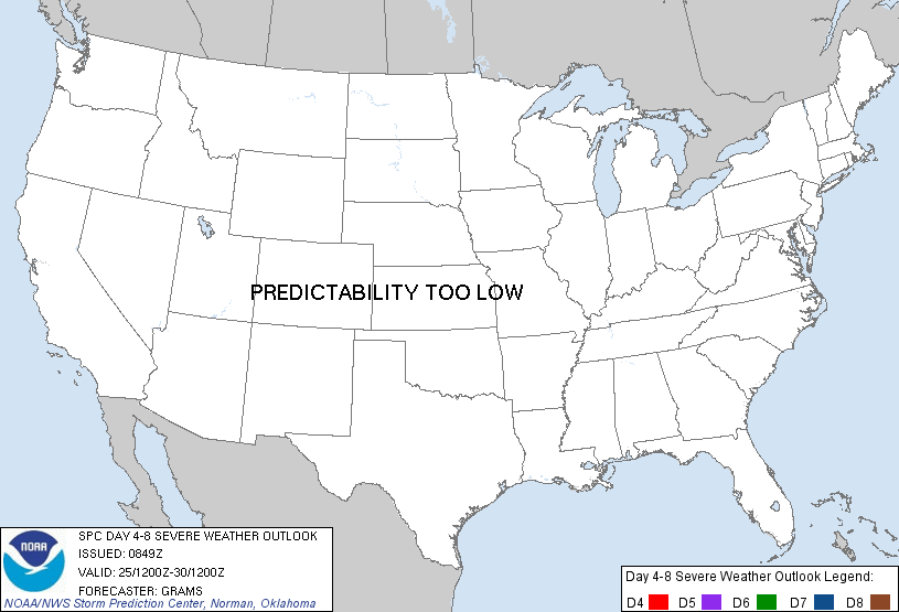
PREDICTABILITY TOO LOW is used to indicate severe storms may be possible based on some model scenarios. However, the location or occurrence of severe storms are in doubt due to: 1) large differences in the deterministic model solutions, 2) large spread in the ensemble guidance, and/or 3) minimal run-to-run continuity.
|
|
POTENTIAL TOO LOW means the threat for a regional area of organized severe storms appears highly unlikely during the entire period (e.g. less than a 30% probability for a regional severe storm area across the CONUS through the entire Day 4-8 period).
|
   ZCZC SPCSWOD48 ALL
   ACUS48 KWNS 220849
   SPC AC 220849

   DAY 4-8 CONVECTIVE OUTLOOK
   NWS STORM PREDICTION CENTER NORMAN OK
   0349 AM CDT WED AUG 22 2012

   VALID 251200Z - 301200Z

   ...DISCUSSION...
   RELATIVELY QUIESCENT PATTERN FOR HIGHER-END SEVERE COVERAGE IN MOST
   OF THE CONUS THIS PERIOD. A SHORT WAVE TROUGH SHOULD DAMPEN AS IT
   PROGRESSES ACROSS S-CNTRL CANADA ON D4...WITH A BELT OF STRONG
   MID-LEVEL W/SWLYS LARGELY DIVORCED FROM A COLD FRONT PROGRESSING
   SEWD IN THE UPPER MIDWEST. THEREAFTER...CONSENSUS OF GUIDANCE HAS
   NOW TRENDED TOWARD BUILDING AN UPPER-LEVEL RIDGE ACROSS THE ROCKIES
   AS A LARGE-SCALE TROUGH DIGS OFF THE PACIFIC NW COAST.

   PRIMARY SEVERE POTENTIAL MAY EVOLVE FROM TC ISAAC WITH ANY POSSIBLE
   CONUS LANDFALL. BUT AS NOTED BY NHC/HPC...CONSIDERABLE UNCERTAINTY
   EXISTS WITH EXTREMELY LARGE SPREAD IN GUIDANCE OVER THE EVENTUAL
   EVOLUTION OF THIS SYSTEM DURING THE PERIOD.

   ..GRAMS.. 08/22/2012

   CLICK TO GET WUUS48 PTSD48 PRODUCT
|
|


 @NWSSPC