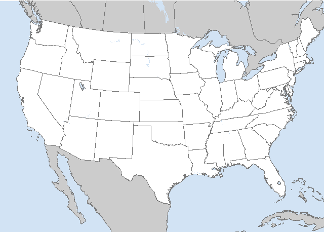
Day 4-8 Severe Weather Outlook. A depicted severe weather area indicates 15%, 30% or higher probability for severe thunderstorms within 25 miles of a point.
Day 4 - 8 Risk
Area (sq. mi.)
Area Pop.
Some Larger Population Centers in Risk Area
Mouse over individual outlook to view severe areas and population under threat.
D4
Sun, Apr 06, 2025 - Mon, Apr 07, 2025
D7
Wed, Apr 09, 2025 - Thu, Apr 10, 2025
D5
Mon, Apr 07, 2025 - Tue, Apr 08, 2025
D8
Thu, Apr 10, 2025 - Fri, Apr 11, 2025
D6
Tue, Apr 08, 2025 - Wed, Apr 09, 2025
(All days are valid from 12 UTC - 12 UTC the following day)
Note: A severe weather area depicted in the Day 4-8 period indicates 15%, 30% or higher probability for severe thunderstorms within 25 miles of any point.
PREDICTABILITY TOO LOW is used to indicate severe storms may be possible based on some model scenarios. However, the location or occurrence of severe storms are in doubt due to: 1) large differences in the deterministic model solutions, 2) large spread in the ensemble guidance, and/or 3) minimal run-to-run continuity.
POTENTIAL TOO LOW means the threat for a regional area of organized severe storms appears unlikely (i.e., less than 15%) for the forecast day.
Forecast Discussion
   ZCZC SPCSWOD48 ALL
   ACUS48 KWNS 030822
   SPC AC 030822

   Day 4-8 Convective Outlook
   NWS Storm Prediction Center Norman OK
   0322 AM CDT Thu Apr 03 2025

   Valid 061200Z - 111200Z

   ...DISCUSSION...
   Models are in relatively good agreement for the Sunday/D4 to
   Monday/D5 period, depicting an elongating upper trough sweeping east
   from the OH/TN Valleys to the East Coast.

   On Sunday/D4, a leading midlevel wave is forecast to move out of AR
   and across TN/KY, with little amplitude and poor lapse rates by this
   time. An extensive area of rain and thunderstorms will be ongoing
   along the length of the cold front throughout the day, from the
   Northeast to the northern Gulf Coast. Some severe wind threat is
   expected, mainly over parts of the Southeast where dewpoints will be
   higher and as deep-layer shear remains favorable.

   The trend of widespread precipitation along this front will continue
   into early Monday/D5, from the Carolinas into FL. The severe risk
   should continue to dwindle as large-scale support weakens, but
   low-end potential cannot be ruled out over these areas.

   For the Tuesday/D6 to Thursday/D8 time frame, the weather pattern
   will be much less conducive to severe storms, with a ridge building
   over the West, and northwest flow across the central states.
   Periodic surges of high pressure are forecast, helping to keep
   conditions mostly stable over the bulk of the CONUS.

   ..Jewell.. 04/03/2025

   CLICK TO GET WUUS48 PTSD48 PRODUCT
Thank you for visiting a National Oceanic and Atmospheric Administration (NOAA) website. The link you have selected will take you to a non-U.S. Government website for additional information.
NOAA is not responsible for the content of any linked website not operated by NOAA. This link is provided solely for your information and convenience, and does not imply any endorsement by NOAA or the U.S. Department of Commerce of the linked website or any information, products, or services contained therein.


 @NWSSPC