|
| Mesoscale Discussion 342 |
|
< Previous MD Next MD >
|
|
Mesoscale Discussion 0342
NWS Storm Prediction Center Norman OK
0923 PM CDT Sat Apr 11 2020
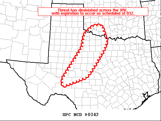
Areas affected...portions of TX from the Red River across the Concho
Valley
Concerning...Tornado Watch 100...
Valid 120223Z - 120330Z
The severe weather threat for Tornado Watch 100 continues.
SUMMARY...Local severe risk persists across WW 100.
DISCUSSION...Latest radar loop shows initial convection exiting
Tornado Watch 100, as storms shift eastward. The strongest storms
persist over southwestern Oklahoma, but will move into newly issued
WW 103 shortly.
Meanwhile, new/isolated storm development is occurring west of San
Angelo. This may be the beginnings of more widespread convective
development expected to occur this evening across parts of western
Texas, as the main upper system advances eastward.
At this time, expectations are that severe risk with the new
convective development should remain limited/local, and as such we
expect to allow WW 100 to expire as scheduled at 12/03Z. New/later
WW issuance would require more substantial development of intense
convection than is currently expected.
..Goss.. 04/12/2020
...Please see www.spc.noaa.gov for graphic product...
ATTN...WFO...FWD...OUN...SJT...LUB...MAF...
LAT...LON 30430166 30870178 31890105 33270009 34279990 34849907
34889836 33669791 32949830 31129968 30430166
|
|
Top/All Mesoscale Discussions/Forecast Products/Home
|
|


 @NWSSPC