Note:
The expiration time in the watch graphic is amended if the watch is
replaced, cancelled or extended.
Note:
Note:
The expiration time in the watch graphic is amended if the watch is
replaced, cancelled or extended.
Note: Click for
Watch Status Reports.
SEL3
URGENT - IMMEDIATE BROADCAST REQUESTED
Tornado Watch Number 163
NWS Storm Prediction Center Norman OK
235 PM CDT Mon May 4 2020
The NWS Storm Prediction Center has issued a
* Tornado Watch for portions of
Northwest Arkansas
Southeast Kansas
Southwest Missouri
Eastern Oklahoma
* Effective this Monday afternoon and evening from 235 PM until
1000 PM CDT.
* Primary threats include...
A few tornadoes likely with a couple intense tornadoes possible
Widespread large hail expected with scattered very large hail
events to 3.5 inches in diameter likely
Scattered damaging wind gusts to 70 mph likely
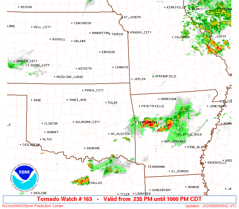
SUMMARY...Thunderstorms are expected to rapidly develop this
afternoon along and ahead of a cold front surging southward into the
watch area. Supercells capable of very large hail and a few
tornadoes are possible. A strong tornado or two is also possible
through the evening.
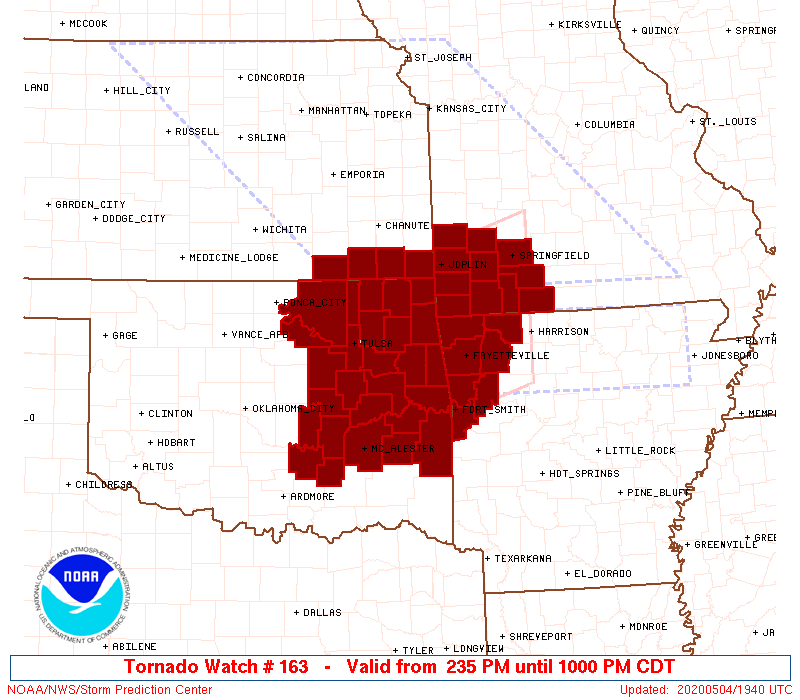
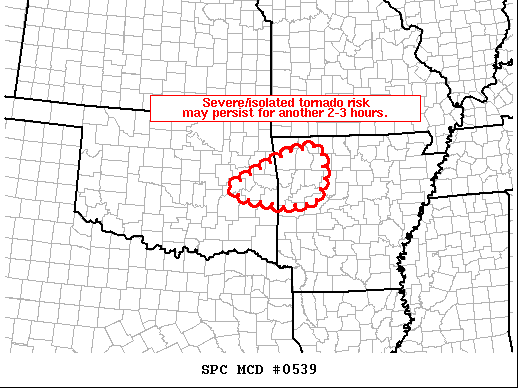
The tornado watch area is approximately along and 75 statute miles
north and south of a line from 55 miles southwest of Tulsa OK to 30
miles north of Harrison AR. For a complete depiction of the watch
see the associated watch outline update (WOUS64 KWNS WOU3).
PRECAUTIONARY/PREPAREDNESS ACTIONS...
REMEMBER...A Tornado Watch means conditions are favorable for
tornadoes and severe thunderstorms in and close to the watch
area. Persons in these areas should be on the lookout for
threatening weather conditions and listen for later statements
and possible warnings.
&&
OTHER WATCH INFORMATION...CONTINUE...WW 161...WW 162...
AVIATION...Tornadoes and a few severe thunderstorms with hail
surface and aloft to 3.5 inches. Extreme turbulence and surface wind
gusts to 60 knots. A few cumulonimbi with maximum tops to 550. Mean
storm motion vector 28035.
...Hart
 Note:
The Aviation Watch (SAW) product is an approximation to the watch area.
The actual watch is depicted by the shaded areas.
Note:
The Aviation Watch (SAW) product is an approximation to the watch area.
The actual watch is depicted by the shaded areas.
SAW3
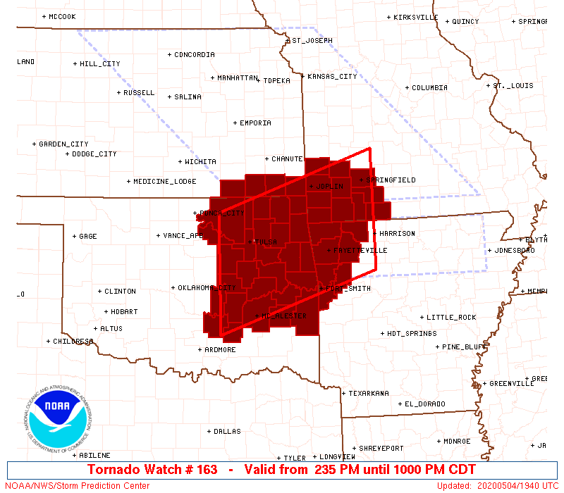
WW 163 TORNADO AR KS MO OK 041935Z - 050300Z
AXIS..75 STATUTE MILES NORTH AND SOUTH OF LINE..
55SW TUL/TULSA OK/ - 30N HRO/HARRISON AR/
..AVIATION COORDS.. 65NM N/S /51SW TUL - 40SSE SGF/
HAIL SURFACE AND ALOFT..3.5 INCHES. WIND GUSTS..60 KNOTS.
MAX TOPS TO 550. MEAN STORM MOTION VECTOR 28035.
LAT...LON 36729657 37799315 35629315 34559657
THIS IS AN APPROXIMATION TO THE WATCH AREA. FOR A
COMPLETE DEPICTION OF THE WATCH SEE WOUS64 KWNS
FOR WOU3.
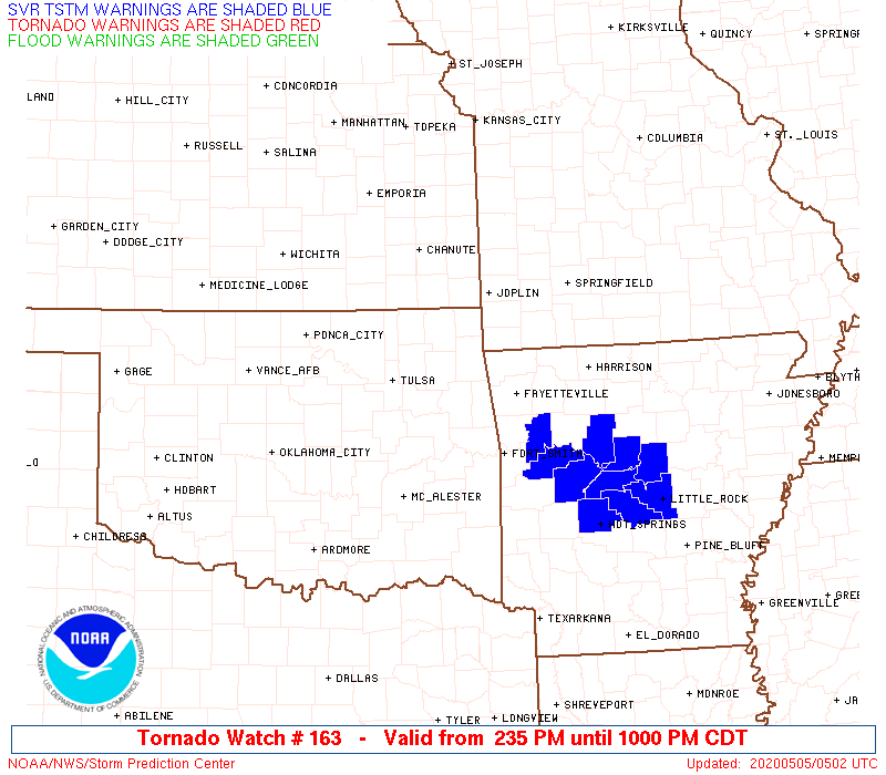
Watch 163 Status Report Message has not been issued yet.
Note:
Click for Complete Product Text.
Tornadoes
Probability of 2 or more tornadoes
|
Mod (60%)
|
Probability of 1 or more strong (EF2-EF5) tornadoes
|
Mod (50%)
|
Wind
Probability of 10 or more severe wind events
|
Mod (60%)
|
Probability of 1 or more wind events > 65 knots
|
Low (20%)
|
Hail
Probability of 10 or more severe hail events
|
High (>95%)
|
Probability of 1 or more hailstones > 2 inches
|
High (80%)
|
Combined Severe Hail/Wind
Probability of 6 or more combined severe hail/wind events
|
High (>95%)
|
For each watch, probabilities for particular events inside the watch
(listed above in each table) are determined by the issuing forecaster.
The "Low" category contains probability values ranging from less than 2%
to 20% (EF2-EF5 tornadoes), less than 5% to 20% (all other probabilities),
"Moderate" from 30% to 60%, and "High" from 70% to greater than 95%.
High values are bolded and lighter in color to provide awareness of
an increased threat for a particular event.


 @NWSSPC