Current time (in UTC/GMT/Zulu):
JavaScript Must Be Enabled.

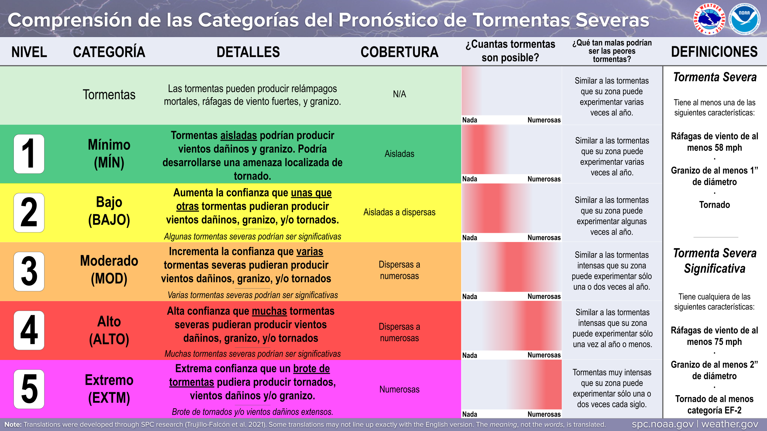
An Enhanced Risk of Severe Thunderstorms is Forecast Today and/or Tonight
Scattered severe thunderstorms capable of very large hail to 3 inch diameter, damaging wind gusts to 65 mph, and a couple of tornadoes will be possible across parts of the Upper Midwest today. The probable time frame for the most intense storms should be centered on late afternoon to early evening.
 For additional details, see the latest Day 1 Convective Outlook.


|
All Products
Watches
MDs
Outlooks
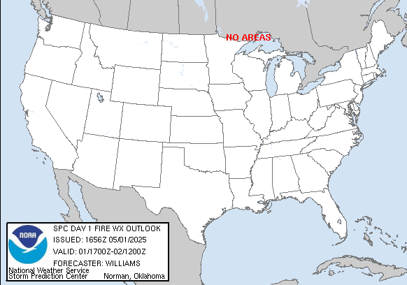
Fire
|
|
|
||||||||||||
|
|
|
||||||||||||
|
Latest SPC Publications
|
Latest SPC Case Archive
|
|||||||||||||


|
|
NOAA /
National Weather Service National Centers for Environmental Prediction Storm Prediction Center 120 David L. Boren Blvd. Norman, OK 73072 U.S.A. spc.feedback@noaa.gov Page last modified: June 12 2024 05:01 UTC |
Disclaimer Information Quality Help Glossary |
Privacy Policy Freedom of Information Act (FOIA) About Us Career Opportunities |
